Civic Center Functional Programming

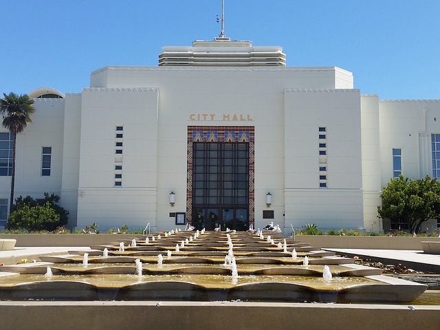
Met with executives from 14 county departments to understand adjacency, workflow, and space requirements. Developed functional programming studies involving demographic analysis and 20-year staff projections, site selection/analysis, development of relationship-based stacking diagrams, 3-dimensional BIM master plan modeling, and cost modeling in terms of construction materials/methods that offered basic, standard, and extended features.
Custom Geographical User Interface

Civic Center Capital Improvement Program Management Protocol Development of program management protocol to aid city in management of current and future CIP projects. A geographical user interface was developed and provided to the City to visually depict time-phased status of redevelopment projects. A cashflow analysis was performed to accompany this. Championed successful interview strategy. Developed, […]
Geospatial Project Management Information System, Ver. 2

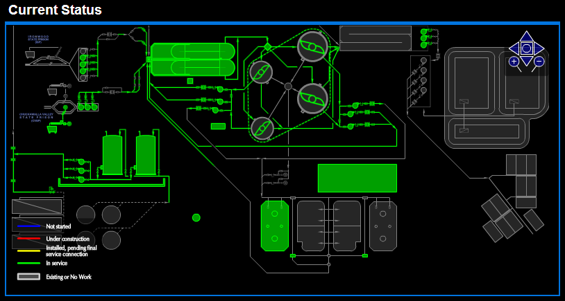
Second version of the Geospatial Project Management Information System previously developed. Developed for a wastewater treatment plant upgrade. The key to making this useful was having an understanding of the subject matter (construction project execution) and knowing how an information system could make life easier by making the not-so-fun parts of managing a project (document control, […]
Geospatial Project Management Information System

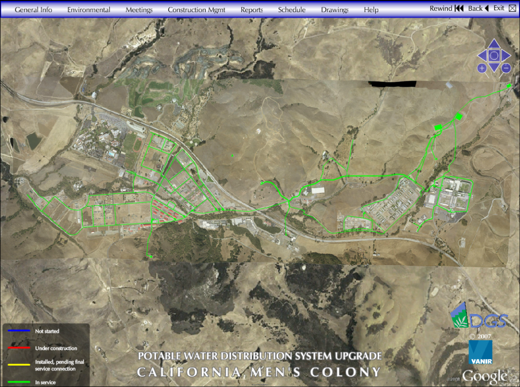
Developed, implemented, and managed unique project controls and public relations instrument relating critical project information and updates to geographic locations posted to a publically available website. This was for a potable water distribution system upgrade. I was originally asked to make a website that visually depicted the MEP schematic and make pipes turn different colors […]